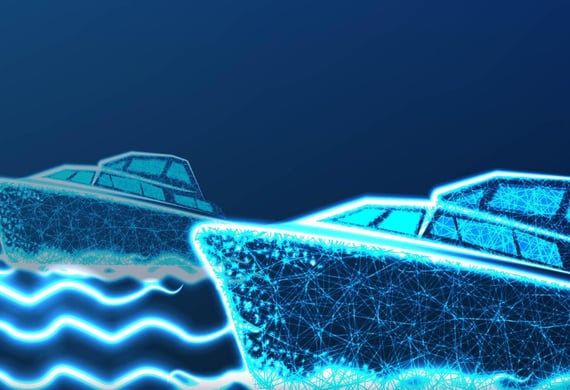
Sensor Research

Combining theoretical analysis with experimental sensor testing for navigation.

A naval ship is depicted with a complex array of antennas and radar equipment on its mast. The sky is clear with only a few clouds, providing a backdrop to the intricate structure. A flag is visible among the equipment, and there are several spherical and cylindrical elements mounted on the ship's superstructure.
Sensor Selection

Testing various sensors for marine navigation scenarios and performance.

A seascape featuring a few cargo ships spread across the calm blue ocean waters. Islands are visible on the horizon under a hazy sky. A small white structure with a black and yellow device, possibly a weather vane or antenna, is positioned in the foreground.
A close-up view of the bridge of a ship, featuring a control room with large windows. Various antennas and navigational equipment are mounted on the structure, and a person is visible inside the room. The ship's exterior is white, and the background shows a clear sky and blurry outlines of trees and electrical wires.
A close-up view of an electronic sensor, featuring a central square sensor surrounded by a casing and mounted on an orange circuit board. The sensor has a reflective, metallic surface with micro-components visible around its perimeter.
Literature Review

Analyzing research trends and technical bottlenecks in sensor applications.

Innovative Research in Sensor Technology

We combine theoretical analysis with experimental verification to advance sensor applications in autonomous maritime navigation, ensuring optimal performance and adaptability in diverse marine environments.

A large research vessel navigates through the ocean, leaving a trail of white foam in its wake. The ship is equipped with various antennas and cranes, highlighting its function for scientific exploration. The vessel's name and identification number are visible on its side.

The situation awareness of autonomous ships relies on the deep integration of sensors and AI technologies. However, there are still many challenges in practical applications. The core research question is: How can we achieve accurate and real-time perception of the complex marine environment and navigation situation of autonomous ships through the rational configuration of sensors and the innovative application of AI technologies? Specifically, it can be broken down into the following sub-questions: First, among various types of sensors (such as radar, sonar, cameras, GPS, meteorological sensors, etc.), how to determine the optimal sensor combination according to the ship's navigation scenarios and requirements to obtain comprehensive and accurate environmental and ship status data? Second, in the face of multi-source heterogeneous data collected by sensors (including data of different formats, frequencies, and precisions), how can AI technologies achieve efficient data fusion and processing to extract valuable information for ship navigation decisions? Third, how can AI technologies use the fused data to construct an accurate navigation situation model and realize real-time prediction and risk assessment of the movements of surrounding ships, changes in marine weather, and channel conditions?